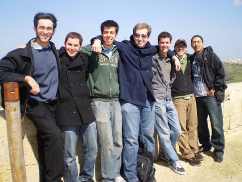
Realizing that Computer Engineering students don’t often have many cultural experiences (for various reasons), Chris Clark and Christine Victorino designed the International Computer Engineering Experience (ICEX) at the end of 2008.
Each year, a few students are selected to participate in ICEX, and the year I joined, the project was to map ancient underground cisterns in Malta using underwater robots.
We started the project by researching Malta’s rich history. Located in the Mediterranean Sea just south of Sicily, Italy, Malta has been ruled by many different empires over the years. Each era of control influenced the culture of the island including the food, language, architecture, political affiliations, religion, and many more aspects.
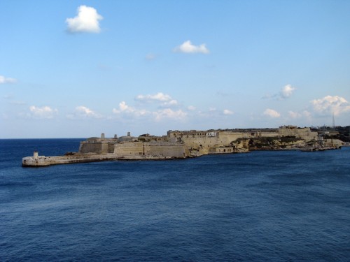
Being the target of invasion for many wars, Malta focused on turning the island into a floating fortress. The homes, monasteries, castles, and in particular walls surrounding the island are all fortified with thick slabs of stone. At the port of Valleta (Valleta being the island’s capital), there are 50-100ft steep solid rock walls protecting the several forts in the area. It is incredible to see the fortifications, and equally incredible to stand at the top of one of the forts and overlook the harbor.
With all of the buildings protected from attackers, the Maltese needed storage for food and water during times of war. There are no permanent lakes or rivers in Malta, so many (most?) of the homes/buildings created underground cisterns to hold fresh water and grains. These cisterns were created up to around two thousand years ago, and many have undergone additions over the years which left distinct layers.
From a research point of view, little was known about the cisterns because of their narrow openings leading to 15-70ft vertical drops before reaching any water. It had been at least hundreds of years before anyone had been inside the cisterns, so there was little prior knowledge about the different cistern shapes, age, and even information about artifacts trapped inside. Luckily for us, many cisterns still held water which provided the perfect environment for a small submersible robot.
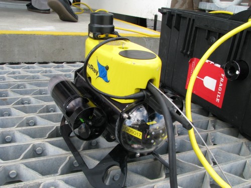
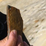
Armed with a VideoRay Pro III Micro ROV equipped with two video cameras (one forward facing, one rear facing), a scanning sonar module, depth sensor, compass, and smart tether, our team lowered the robot into several selected cisterns and had great success. We were able to map distinct shapes of cisterns, record the different layers of construction on video, and we were even able to retrieve a piece of ancient pottery from the bottom of a cistern.
While it was a technically challenging and successful project for us students, we were also able to give our results greater meaning by passing the data onto our archaeological colleagues which was then used to approximate the age of a particular cistern, and to estimate the number of people it supported.
Our blog which followed the trip on a daily basis can be found at http://icexmalta.blogspot.com, and the full results of the experiments can be found at the Malta Mapping website from lead investigator Chris Clark.
We also wrote several papers documenting the technical and archaeological findings which can be found in the following locations:
- The Malta Cistern Mapping Project: Underwater Robot Mapping and Localization Within Ancient Tunnel Systems. Journal of Field Robotics, 2010.
- Underwater Robots with Sonar and Smart Tether for Underground Cistern Mapping and Exploration. Proceedings of VAST International Symposium on Virtual Reality, Archaeology and Cultural Heritage (VAST 09), 2009.
- The Malta Cistern Mapping Project: Expedition II. Proceedings of International Symposium on Unmanned Untethered Submersible Technology (UUST 09), Aug 2009.
